


Flooding update from the Environment Agency
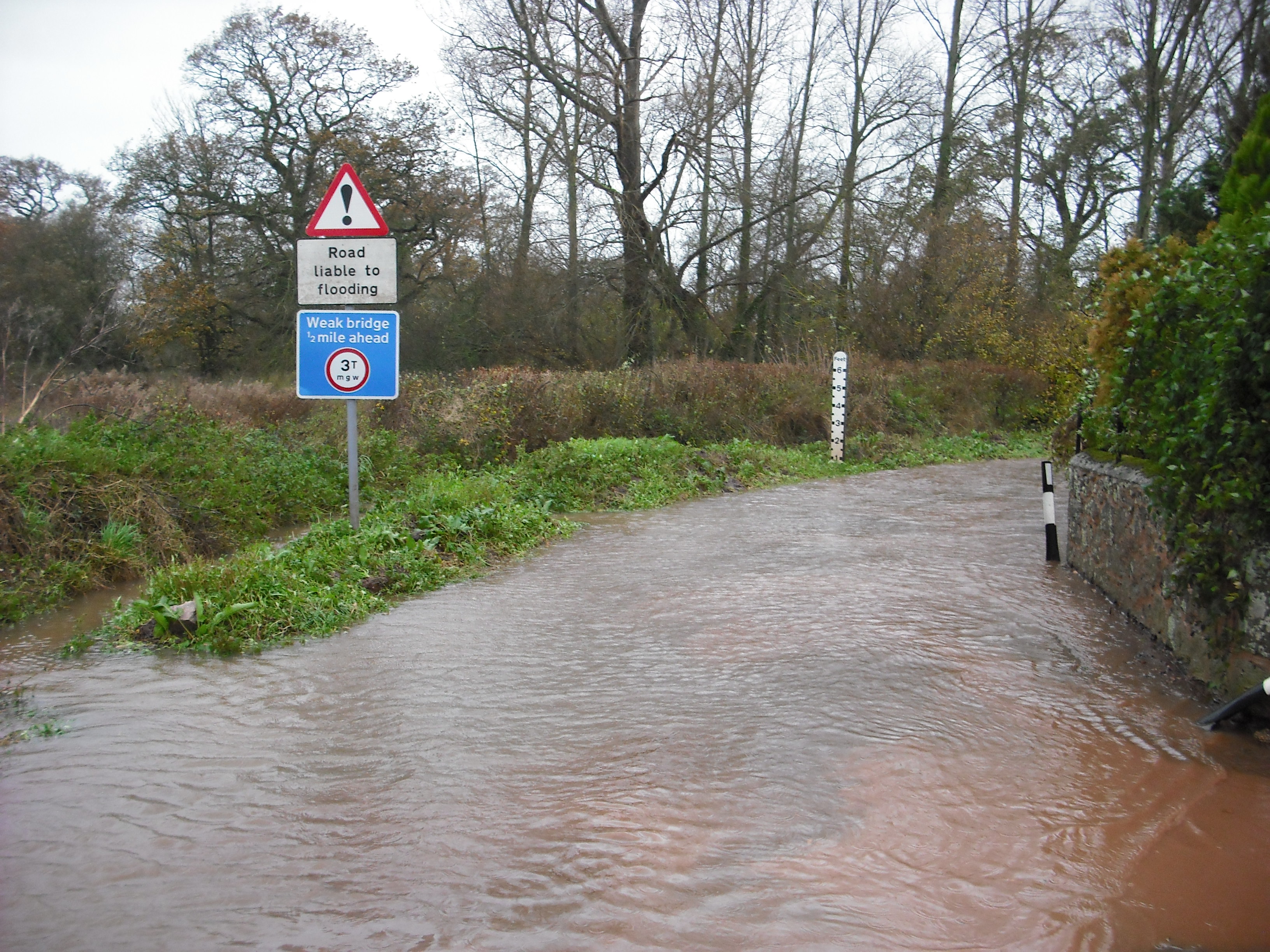
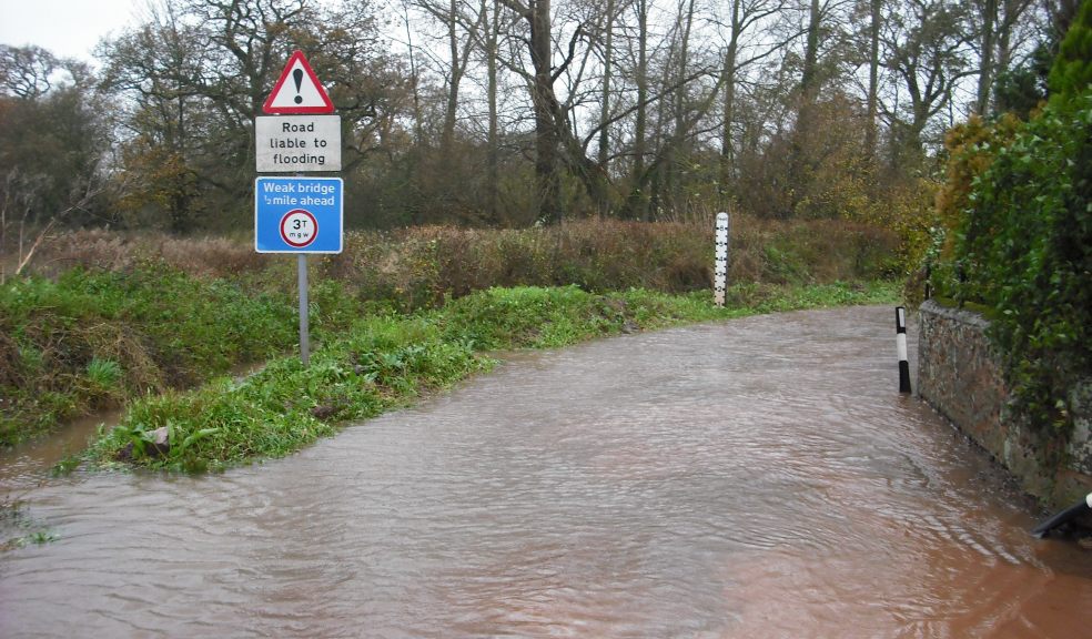
The Hemyock, Cullompton, Stoke Canon, Broadclyst and Clyst St Mary areas remain under flood alert as further rain is forecast. Scattered and blustery showers are expected on Saturday through to Monday with some heavy bursts throughout this period. Winds forecast for this weekend remain strong with gusts up to Force 8.
East facing coastal locations, including Beesands, Torcross, Slapton, Torbay and Dawlish also remain under flood alert for the high tides on Friday evening and Saturday morning. The time and date of forecast high water at Beesands is Tide 1: 18:30 on 14th December 2012, Tide 2: 06:45 on 15th December 2012. The predicted astronomical tide level is Tide 1: 2.44m, Tide 2: 2.69m. The forecast surge height is Tide1: 0.39m, Tide 2: 0.25m. For both tides, the forecast wind direction is west southwesterly and wind strength is force 5 up to force 7. This evenings tide will be lower than this mornings. Although, the predicted tide and surge for Saturday morning is higher than Friday evening, the wind speed will reduce. However, large swell waves could be experienced throughout the weekend.
A flood alert also remains in place for the areas of Lympstone, Exmouth, Budleigh Salterton, Honiton, Ottery St Mary and Sidmouth. Scattered and blustery showers are expected on Saturday through to Monday with some heavy bursts throughout this period. Winds forecast for this weekend remain strong with gusts up to Force 8.