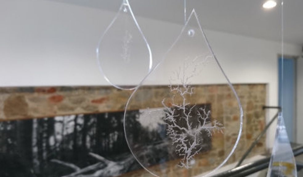
"Green|Blue" - the art of flood risk
“Green|Blue” is a series of black & white images of 'trees'. The work is derived from Environment Agency data on land at risk of flooding from rivers and the sea, separating out 21 river catchments around the South coast from the Sussex Ouse to the Bristol Avon.
The view from above has become normalised. Google Maps and OS Maps, city centre plans and ‘you are here’ stickers on the boards at local nature reserves, give the impression of omniscience and omnipotence. The very notion of ‘flood risk’ calls both our knowledge and power into question in the face of uncertainty and the force of nature. What seems to be the most solid and robust is in reality the most fragile and vulnerable. Changing the perspective, looking slant, confers a new understanding and humility.
More information on Exeter Cathedral's website, including access and times.


