


New snow warning issued for Devon
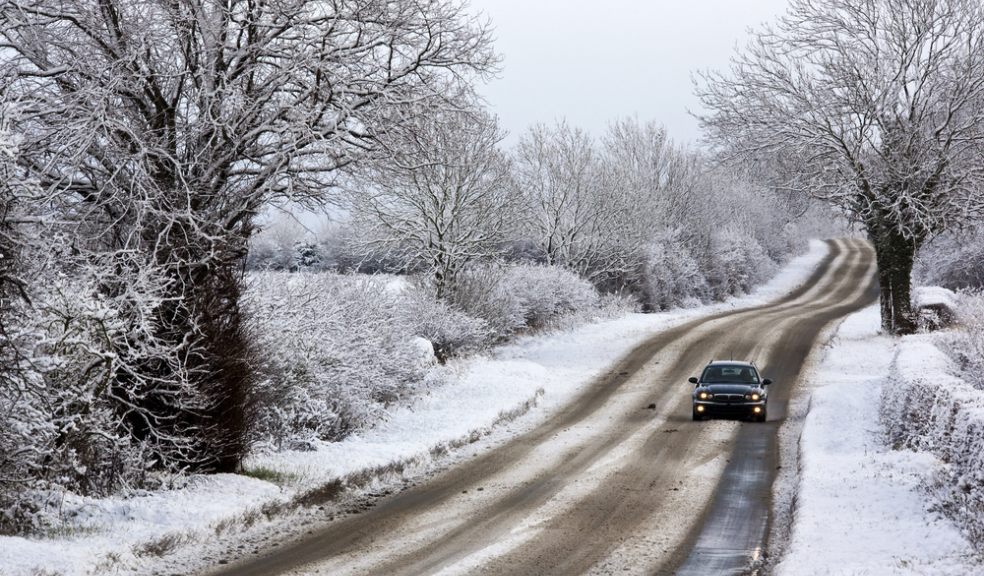
The Met Office has issued a fresh weather warning as heavy snow is forecast to hit Devon this weekend, with “blizzard conditions” predicted in parts of the region.
The warning is valid for the whole of Sunday and Monday.
Forecasters say further snow showers will affect parts of Scotland and Northern Ireland on Sunday leading to some locally large accumulations and the showers may spread along eastern and western coasts of England and Wales.
The showers will be associated with strong winds so drifting and temporary blizzard conditions are possible as well as icy stretches. The public should be aware of the potential for disruption from these conditions.
Snow showers are likely to continue to affect similar areas into Monday bringing further accumulations. Meanwhile, there is a risk of a more persistent spell of rain, sleet and snow affecting Wales, the Midlands and southwest England on Monday.
The Met Office’s chief forecaster said: “A very cold airmass will continue to spread southwards from Scotland and Northern Ireland across the remainder of the UK on Sunday accompanied by strong winds.
“Frequent showers are likely to form in this airmass, primarily affecting northern parts of Scotland and Northern Ireland but also running along eastern and western coastal districts of England and Wales at times.
“With the cold air snow is likely to accumulate even to low levels wherever showers affect. Periods of enhanced snowfall are possible within this general flow but details of these are very uncertain at this time. As such this alert is likely to be updated and refined in the coming days to better represent individual features.
“There is the potential for disruption throughout this period due to the accumulating snow and ice but also with temporary blizzard conditions leading to very difficult driving conditions.”
The five day forecast for Devon is as follows
Today:
A cold and windy day with sunny spells and wintry showers. The showers will be most frequent in the west with any snow accumulations confined to the hills and Moors. Showers will become less wintry in nature later. Maximum temperature 8C.
Tonight:
Windy, cold with further showers, wintry at times, in the west. Showers easing with cloud increasing in the east. Outbreaks of rain, sleet and hill snow possible in northeast later. Minimum temperature 2C.
Friday:
Cold, breezy and generally cloudy at first. Outbreaks of rain, sleet and hill snow are likely. Becoming brighter from the west later with some sunny spells and wintry showers developing. Maximum temperature 8C.
Outlook for Saturday to Monday:
Colder northerly winds will establish through Saturday. There will be a mix of sunshine and wintry showers throughout, the showers most likely in the west. Patchy frost expected overnight.